ECW
Type of resources
Available actions
Topics
INSPIRE themes
Provided by
Years
Formats
Representation types
Update frequencies
status
Resolution
-

CIR-Orthofotomosaik Befliegung Vorarlberg 2014 - Teilbereich Hochtannberg 3 Kanal CIR-Raster-ECW (NIR-R-G) Datenquelle: ir2014_20cm.ecw
-

RGB-Orthofotomosaik Befliegung Vorarlberg 2006 Teilbereich Bodensee Datenquelle: ef2006_25cm.ecw
-

RGB-Winterorthofotomosaik Vorarlberg Befliegungen 2005-2011 Datenquelle: wi20xx_20cm.ecw
-

CIR-Orthofotomosaik Befliegung Vorarlberg 2015 3 Kanal CIR-Raster-ECW (NIR-R-G) Datenquelle: ir2015_10cm.ecw
-

CIR-Orthofotomosaik Befliegung Vorarlberg 2009 3 Kanal CIR-Raster-ECW (NIR-R-G) Datenquelle: ir2009_12cm.ecw
-

RGB-Orthofotomosaik Befliegung Vorarlberg 2009 Datenquelle: ef2009_12cm.ecw
-

RGB-Orthofotomosaik Befliegung Nachfluege_ALS2024_Rutschgebiete (2024-02-21) Der Bildflug erfolgte parallel zur Laserscan-Erfassung Verwendete Kamera: Phase One iXM-RS150f, 40mm Brennweite Orthofoto-Auflösung: 10cm Flugdatum 21. Februar 2024 Struktur der räumlichen Daten: 4-Kanal RGBA-Bild im Format ECW Datenquelle: ef2024-02-21_als2024_hoerbranz_lochau_eichenberg_10cm
-

RGB-Orthofotomosaik Befliegung Nachfluege_ALS2024_Rutschgebiete (2024-02-21) Der Bildflug erfolgte parallel zur Laserscan-Erfassung Verwendete Kamera: Phase One iXM-RS150f, 40mm Brennweite Orthofoto-Auflösung: 10cm Flugdatum 21. Februar 2024 Struktur der räumlichen Daten: 4-Kanal RGBA-Bild im Format ECW Datenquelle: ef2024-02-21_als2024_hohenems_10cm
-

CIR-Orthofotomosaik Befliegung Vorarlberg 2020 3 Kanal CIR-Raster-ECW (NIR-R-G) Datenquelle: ir2020_10cm.ecw
-

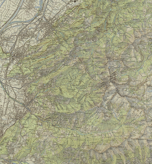
Kartenmosaik der ÖK-50-Kartenblätter 1971-1980, Kartenmaßstab 1:50.000 3 Kanal RGB-Raster-ECW Datenquelle: oek50_1971-1980.ecw
 VoGIS Metadatenkatalog