 VoGIS Metadatenkatalog
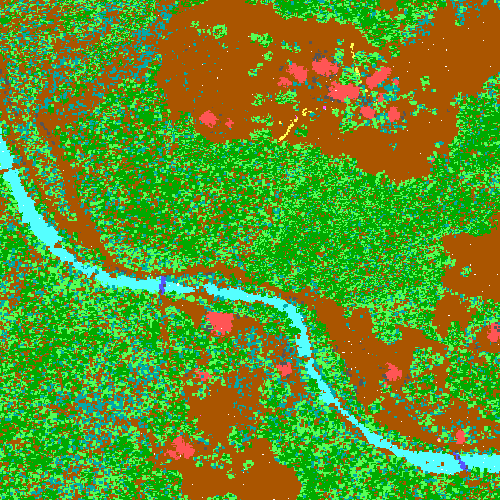
Lidarpunkte 2017
Originalmesspunkte der Laserscanning-Befliegung Vorarlberg 2017 (3. Laserscanning-Aufnahme)
Lage: EPSG 31254, Höhe EPSG 5778; Transformiert mit den LVG-Residuengrids für 2017
Datenquelle:
pc2017.vpc
Simple
- Date (Creation)
- 2024-12-10
- Date (Revision)
- 2025-04-09T12:00:00
- Unique resource identifier
- d23f9ef1-118b-408f-85b2-082e5b9c8456
- Status
- Completed
Point of contact
Vorarlberg, Landesamt für Vermessung und Geoinformation, Abteilung Geoinformation
+43 (0) 5522 / 754826
https://vorarlberg.at/-/landesamt-fuer-vermessung-und-geoinformation-l-1?article_id=122572
Johannitergasse 6
,
Feldkirch
,
6800
,
Austria
+43 (0) 5522 / 75482
+43 (0) 5522 / 754826
https://vorarlberg.at/-/landesamt-fuer-vermessung-und-geoinformation-l-1?article_id=122572
Custodian
Vorarlberg, Landesamt für Vermessung und Geoinformation, Abteilung Geoinformation
+43 (0) 5522 / 754826
https://vorarlberg.at/-/landesamt-fuer-vermessung-und-geoinformation-l-1?article_id=122572
Johannitergasse 6
,
Feldkirch
,
6800
,
Austria
+43 (0) 5522 / 75482
+43 (0) 5522 / 754826
https://vorarlberg.at/-/landesamt-fuer-vermessung-und-geoinformation-l-1?article_id=122572
Publisher
Vorarlberg, Landesamt für Vermessung und Geoinformation, Abteilung Geoinformation
+43 (0) 5522 / 754826
https://vorarlberg.at/-/landesamt-fuer-vermessung-und-geoinformation-l-1?article_id=122572
Johannitergasse 6
,
Feldkirch
,
6800
,
Austria
+43 (0) 5522 / 75482
+43 (0) 5522 / 754826
https://vorarlberg.at/-/landesamt-fuer-vermessung-und-geoinformation-l-1?article_id=122572
Owner
Vorarlberg, Landesamt für Vermessung und Geoinformation, Abteilung Geoinformation
+43 (0) 5522 / 754826
https://vorarlberg.at/-/landesamt-fuer-vermessung-und-geoinformation-l-1?article_id=122572
Johannitergasse 6
,
Feldkirch
,
6800
,
Austria
+43 (0) 5522 / 75482
+43 (0) 5522 / 754826
https://vorarlberg.at/-/landesamt-fuer-vermessung-und-geoinformation-l-1?article_id=122572
- Maintenance and update frequency
- Not planned
-
VOGIS Thema 1.0.0
-
-
luftbilder
-
-
VOGIS Unterthema 1.0.0
-
-
orthofotos
-
- Theme
-
-
luftbild
-
luftbildfotographie
-
messpunkte
-
-
GEMET - INSPIRE themes, version 1.0
-
-
höhe
-
- Keywords
-
-
luftbild
-
luftbilfotographie
-
messpunkte
-
- Access constraints
- Copyright
- Use constraints
- otherRestictions
Resource constraints
No information provided.
- Spatial representation type
- Text, table
- Metadata language
-
ger
- Character set
- UTF8
- Topic category
-
- Planning cadastre
N
S
E
W
))
- Reference system identifier
- EPSG / MGI / Austria GK West (EPSG:31254) / 8.6
- Number of dimensions
- 3
- Cell geometry
- Point
- Distribution format
-
-
VPC
(
-
)
-
VPC
(
-
)
- Hierarchy level
- Dataset
- Statement
-
Eigene Erfassung
- File identifier
- d23f9ef1-118b-408f-85b2-082e5b9c8456 XML
- Metadata language
- Deutsch
- Character set
- UTF8
- Hierarchy level
- Dataset
- Date stamp
- 2025-04-14T13:45:58
- Metadata standard name
-
ISO 19115:2003/19139
- Metadata standard version
-
1.0
Point of contact
Vorarlberg, Landesamt für Vermessung und Geoinformation, Abteilung Geoinformation
+43 (0) 5522 / 754826
https://vorarlberg.at/-/landesamt-fuer-vermessung-und-geoinformation-l-1?article_id=122572
Johannitergasse 6
,
Feldkirch
,
6800
,
Austria
+43 (0) 5522 / 75482
+43 (0) 5522 / 754826
https://vorarlberg.at/-/landesamt-fuer-vermessung-und-geoinformation-l-1?article_id=122572
Overviews
Spatial extent
N
S
E
W
Provided by

Associated resources
Not available