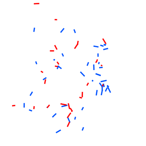
Flughindernisse Seilbahnen Vorarlberg
Grafische Darstellung von Seilbahnanlagen, wenn ihre Höhe 100 m über Grund übersteigt.
In bestimmten Lagen ab 30 m über Grund und Seilverspannungen je nach geographischer Lage bereits ab einer Höhe von 10 m über Grund.
Auch vorübergehend Errichtete Bauwerke, Baukräne u.ä. wenn sie bewilligungspflichtige Luftfahrthindernisse im Sinne des Luftfahrtgesetztes sind.
Luftsicherheit, Risiken, Sicherheit, Katastrophen, Unfälle
Datenquelle:
flughindernis_seilbahn.shp
Simple
- Date (Creation)
- 2013-10-24T08:00:00
- Date (Revision)
- 2019-07-08T12:00:00
- Edition
-
1.0
- Edition date
- 2013-01-24T00:00:00
- Unique resource identifier
- 8441cb68-c840-453f-b61f-6a5cae1a7a26
- Presentation form
- Digital map
- Purpose
-
Lebenswichtige Bedeutung im Such- und Rettungsflugwesen
- Status
- Historical archive
+43 (0) 5522 / 754826
https://vorarlberg.at/-/landesamt-fuer-vermessung-und-geoinformation-l-1?article_id=122572
+43 (0) 5522 / 754826
https://vorarlberg.at/-/landesamt-fuer-vermessung-und-geoinformation-l-1?article_id=122572
+43 (0) 5574 / 511-921295
https://vorarlberg.at/-/lageplan-fehlt_verkehrsrecht-ib
+43 (0) 5574 / 511-921295
https://vorarlberg.at/-/lageplan-fehlt_verkehrsrecht-ib
- Maintenance and update frequency
- As needed
- Name
-
ESRI Shapefile
- Version
-
1.0
-
VOGIS-Thema
-
-
Gefahren
-
-
VOGIS-Unterthema
-
-
Luftfahrt
-
- Keywords
-
-
Luftfahrt
-
Hindernisse
-
-
GEMET - INSPIRE themes, version 1.0
-
-
Verkehrsnetze
-
-
GEMET
-
-
Sicherheit
-
Luftsicherheit
-
Katastrophe
-
Risiko
-
Unfall
-
- Access constraints
- Copyright
- Spatial representation type
- Vector
- Denominator
- 5000
- Metadata language
- Deutsch
- Character set
- UTF8
- Topic category
-
- Transportation
- Description
-
Bereich umfasst das Land Vorarlberg
))
- Reference system identifier
- EPSG: 31254
- Topology level
- Geometry only
- Geometric object type
- Curve
- Geometric object type
- Point
- Distribution format
-
-
ESRI Shapefile
(
1.0
)
-
ESRI Shapefile
(
1.0
)
- OnLine resource
-
Shapefile-Download
(
WWW:DOWNLOAD-1.0-http--download
)
Achtung !! max. Features = 100.000
- OnLine resource
-
Geopackage-Download
(
WWW:DOWNLOAD-1.0-http--download
)
Achtung !! max. Features = 100.000
- Hierarchy level
- Dataset
- Statement
-
Information zur Datenqualität. Wann erstellt, in welchem Erhebungsmaßstab, Zuständigkeit etc.
- File identifier
- 8441cb68-c840-453f-b61f-6a5cae1a7a26 XML
- Metadata language
- Deutsch
- Character set
- UTF8
- Hierarchy level
- Dataset
- Date stamp
- 2025-04-07T09:59:20
- Metadata standard name
-
ISO 19115:2003/19139
- Metadata standard version
-
1.0
+43 (0) 5522 / 754826
https://vorarlberg.at/-/landesamt-fuer-vermessung-und-geoinformation-l-1?article_id=122572
Overviews

Spatial extent
))
Provided by

 VoGIS Metadatenkatalog