 VoGIS Metadatenkatalog
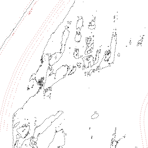
50cm-Höhenschichtenlinien Vorarlberg aus dem Lasermodell 2011
50cm-Höhenschintenlinien (Isohypsen) Vorarlberg aus dem Laserhöhenmodell 2011
Wichtige Felder und Datentypen der Attributtabelle:
HOEHE, Real, Real, 12,3
Datenquelle: 144 10.000er-Kacheln mit den Bezeichnungen it2011_50cm_xxxxxxx.shp, zusammengefasst in vogis.vorarlberg.it2011_50cm
Simple
- Date (Creation)
- 2014-02-28
- Date (Revision)
- 2023-04-27T12:00:00
- Identifier
- AT.0025.31.00 / 47b507de-848d-4ee7-8d20-36f74f736190
- Presentation form
- Digital map
+43 (0) 5522 / 754826
https://vorarlberg.at/-/landesamt-fuer-vermessung-und-geoinformation-l-1?article_id=122572
+43 (0) 5522 / 754826
https://vorarlberg.at/-/landesamt-fuer-vermessung-und-geoinformation-l-1?article_id=122572
+43 (0) 5522 / 754826
https://vorarlberg.at/-/landesamt-fuer-vermessung-und-geoinformation-l-1?article_id=122572
+43 (0) 5522 / 754826
https://vorarlberg.at/-/landesamt-fuer-vermessung-und-geoinformation-l-1?article_id=122572
-
VOGIS-Thema
-
-
Gelaendemodelle
-
-
VOGIS-Unterthema
-
-
Hoehenschichten
-
- Keywords
-
-
Höhe
-
Laser
-
- Access constraints
- Copyright
- Denominator
- 5000
- Metadata language
- Deutsch
- Topic category
-
- Elevation
))
- Reference system identifier
- EPSG / MGI / Austria GK West (EPSG:31254) / 7.9
- Distribution format
-
-
ESRI Shapefile
(
1.0
)
-
ESRI Shapefile
(
1.0
)
- OnLine resource
- Geoserver-WMS ( OGC:WMS-http-get-capabilities )
- OnLine resource
- Geoserver-WFS ( OGC:WFS-http-get-capabilities )
- OnLine resource
-
Shapefile-Download
(
WWW:DOWNLOAD-1.0-http--download
)
Achtung !! max. Features = 100.000
- OnLine resource
-
Geopackage-Download
(
WWW:DOWNLOAD-1.0-http--download
)
Achtung !! max. Features = 100.000
- File identifier
- 47b507de-848d-4ee7-8d20-36f74f736190 XML
- Metadata language
- Deutsch
- Hierarchy level
- Dataset
- Date stamp
- 2025-04-07T09:59:50
- Metadata standard name
-
ISO19115
- Metadata standard version
-
2003/Cor.1:2006
Overviews
Spatial extent
Provided by
