 VoGIS Metadatenkatalog
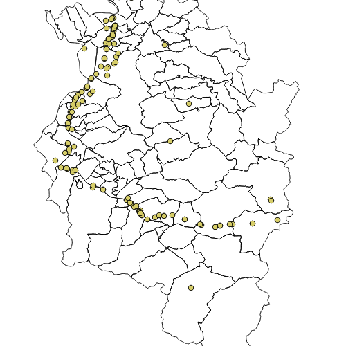
Landesstraßenanlagen Unterführungen Vorarlberg
Unterführungen des hoeherrangigen Strassennetzes ohne Autobahnen und Schnellstrassen
Wichtige Felder und Datentypen der Attributtabelle:
StrKey (String),
StrBez (String),
Richtung (String),
bei_km (Integer),
von_km (Integer),
bis_km (Integer),
Laenge (Integer),
BW_Bez (String),
BW_Nr (String),
Baujahr (String)
Datenquelle: unterfuehrung.shp
Simple
- Date (Creation)
- 2009-12-07T08:00:00
- Date (Revision)
- 2025-04-04T08:23:56
- Unique resource identifier
- 2f965d0b-2825-429f-93f5-64220ecec945
- Presentation form
- Digital map
- Status
- On going
+43 (0) 5574 / 511-927895
https://vorarlberg.at/-/abteilung-strassenbau
+43 (0) 5574 / 511-927895
https://vorarlberg.at/-/abteilung-strassenbau
+43 (0) 5522 / 754826
https://vorarlberg.at/-/landesamt-fuer-vermessung-und-geoinformation-l-1?article_id=122572
+43 (0) 5574 / 511-927895
https://vorarlberg.at/-/abteilung-strassenbau
- Maintenance and update frequency
- As needed
- Name
-
ESRI Shapefile
- Version
-
1.0
-
VOGIS Thema 1.0.0
-
-
verkehr
-
-
VOGIS Unterthema 1.0.0
-
-
strasse
-
-
GEMET - INSPIRE themes, version 1.0
-
-
verkehrsnetze
-
-
GEMET
-
-
straßenverkehr
-
verkehrsinfrastruktur
-
- Keywords
-
-
unterführung
-
- Access constraints
- Copyright
- Spatial representation type
- Vector
- Denominator
- 5000
- Metadata language
- Deutsch
- Character set
- UTF8
- Topic category
-
- Transportation
- Description
-
Bereich umfasst das Land Vorarlberg
))
- Reference system identifier
- EPSG: 31254
- Topology level
- Geometry only
- Distribution format
-
-
ESRI Shapefile
(
1.0
)
-
ESRI Shapefile
(
1.0
)
- OnLine resource
- Geoserver-WMS ( OGC:WMS-http-get-capabilities )
- OnLine resource
- Geoserver-WFS ( OGC:WFS-http-get-capabilities )
- OnLine resource
-
Shapefile-Download
(
WWW:DOWNLOAD-1.0-http--download
)
Achtung !! max. Features = 100.000
- OnLine resource
-
Geopackage-Download
(
WWW:DOWNLOAD-1.0-http--download
)
Achtung !! max. Features = 100.000
- File identifier
- 2f965d0b-2825-429f-93f5-64220ecec945 XML
- Metadata language
- Deutsch
- Character set
- UTF8
- Hierarchy level
- Dataset
- Date stamp
- 2025-04-14T13:42:24
- Metadata standard name
-
ISO 19115:2003/19139
- Metadata standard version
-
1.0
+43 (0) 5522 / 754826
https://vorarlberg.at/-/landesamt-fuer-vermessung-und-geoinformation-l-1?article_id=122572
Overviews
Spatial extent
Provided by
