 VoGIS Metadatenkatalog
Differenzhoehenmodelle (Gruppenlayer)
Gruppenlayer Differenzhoehenmodell
Simple
- Date (Creation)
- 2024-03-19
- Date (Revision)
- 2024-03-19T12:12:30
- Identifier
- AT.0025.31.00 / 0ea9515e-639d-48e4-8f5c-b841a74a8fd2
- Presentation form
- Digital map
Point of contact
Vorarlberg, Landesamt für Vermessung und Geoinformation, Abteilung Geoinformation
-
+43 (0) 5574 / 511-927195
https://vorarlberg.at/-/raumplanung-und-baurecht
Landhaus
,
Bregenz
,
6901
,
Austria
+43 (0) 5574/511-27105
+43 (0) 5574 / 511-927195
https://vorarlberg.at/-/raumplanung-und-baurecht
Publisher
Vorarlberg, Landesamt für Vermessung und Geoinformation, Abteilung Geoinformation
+43 (0) 5522 / 754826
https://vorarlberg.at/-/landesamt-fuer-vermessung-und-geoinformation-l-1?article_id=122572
Johannitergasse 6
,
Feldkirch
,
6800
,
Austria
+43 (0) 5522 / 75482
+43 (0) 5522 / 754826
https://vorarlberg.at/-/landesamt-fuer-vermessung-und-geoinformation-l-1?article_id=122572
-
VOGIS Thema 1.0.0
-
-
gelaendemodelle
-
-
VOGIS Unterthema 1.0.0
-
-
differenzhoehenmodelle
-
- Keywords
-
-
digitales geländemodell
-
höhe
-
laserscanning
-
- Access constraints
- Copyright
- Other constraints
-
no limitations
- Denominator
- 5000
- Metadata language
- Deutsch
- Topic category
-
- Elevation
N
S
E
W
))
- Reference system identifier
- EPSG / MGI / Austria GK West (EPSG:31254) / 7.9
- Hierarchy level
- Dataset
- Statement
-
Digitalisierung auf Basis Luftbild und Grenzen des digitalen Katasters
- File identifier
- 0ea9515e-639d-48e4-8f5c-b841a74a8fd2 XML
- Metadata language
- Deutsch
- Hierarchy level
- Dataset
- Hierarchy level name
-
VOGIS-Gruppenlayer
- Date stamp
- 2025-04-14T13:45:43
- Metadata standard name
-
ISO19115
- Metadata standard version
-
2003/Cor.1:2006
Overviews
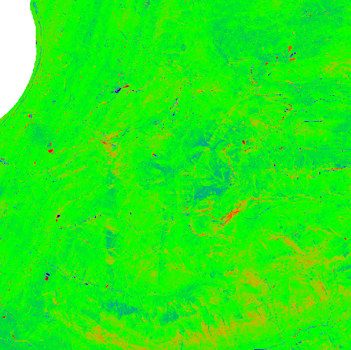
Differnzhoehenmodell
Spatial extent
N
S
E
W
Provided by

Associated resources
Not available