 VoGIS Metadatenkatalog
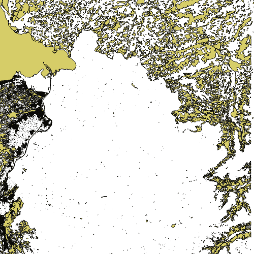
Flächen für die Topographische Karte Vorarlbergs
Dieser Layer besteht aus Polygonen für die Topographische Karte Vorarlbergs. Die Polygone umfassen Daten aus Vorarlberg (Seen, Gletscher, sonstige Wasserflächen) und aus Tirol, Schweiz, Liechtenstein und Allgäu (Wald, Seen, Gletscher, Bauflächen, Gebäude)
Wichtige Felder und Datentypen der Attributtabelle:
FLAECHE (double) Einteilung der Flächen
Datenquelle: topo_flaechen.shp
Simple
- Date (Creation)
- 2009-11-18
- Date (Revision)
- 2019-07-08T12:00:00
- Identifier
- AT.0025.07.00 / 05740f09-bb28-4c86-8f25-3bc475b66507
Point of contact
Vorarlberg, Amt d. LReg., Abteilung VIIa - Raumplanung
+43 (0) 5574 / 511-927195
https://vorarlberg.at/-/raumplanung-und-baurecht
Landhaus
,
Bregenz
,
6901
,
Austria
+43 (0) 5574/511-27105
+43 (0) 5574 / 511-927195
https://vorarlberg.at/-/raumplanung-und-baurecht
Custodian
Vorarlberg, Amt d. LReg., Abteilung VIIa - Raumplanung
+43 (0) 5574 / 511-927195
https://vorarlberg.at/-/raumplanung-und-baurecht
Landhaus
,
Bregenz
,
6901
,
Austria
+43 (0) 5574/511-27105
+43 (0) 5574 / 511-927195
https://vorarlberg.at/-/raumplanung-und-baurecht
Publisher
Vorarlberg, Landesamt für Vermessung und Geoinformation, Abteilung Geoinformation
+43 (0) 5522 / 754826
https://vorarlberg.at/-/landesamt-fuer-vermessung-und-geoinformation-l-1?article_id=122572
Johannitergasse 6
,
Feldkirch
,
6800
,
Austria
+43 (0) 5522 / 75482
+43 (0) 5522 / 754826
https://vorarlberg.at/-/landesamt-fuer-vermessung-und-geoinformation-l-1?article_id=122572
Owner
Vorarlberg, Amt d. LReg., Abteilung VIIa - Raumplanung
+43 (0) 5574 / 511-927195
https://vorarlberg.at/-/raumplanung-und-baurecht
Landhaus
,
Bregenz
,
6901
,
Austria
+43 (0) 5574/511-27105
+43 (0) 5574 / 511-927195
https://vorarlberg.at/-/raumplanung-und-baurecht
-
VOGIS-Thema
-
-
Topographische_Karten
-
-
VOGIS-Unterthema
-
-
Topokarte_VoGIS
-
- Keywords
-
-
Karte
-
Raumplanung
-
Geografische Bezeichnungen
-
Topographie
-
- Access constraints
- Copyright
- Denominator
- 1000
- Metadata language
- Deutsch
- Topic category
-
- Planning cadastre
N
S
E
W
))
- Reference system identifier
- EPSG / MGI / Austria GK West (EPSG:31254) / 7.9
- Distribution format
-
-
ESRI Shapefile
(
1.0
)
-
ESRI Shapefile
(
1.0
)
- OnLine resource
- Geoserver-WMS ( OGC:WMS-http-get-capabilities )
- File identifier
- 05740f09-bb28-4c86-8f25-3bc475b66507 XML
- Metadata language
- Deutsch
- Hierarchy level
- Dataset
- Date stamp
- 2022-05-04T15:11:35
- Metadata standard name
-
ISO19115
- Metadata standard version
-
2003/Cor.1:2006
Custodian
Vorarlberg, Landesamt für Vermessung und Geoinformation, Abteilung Geoinformation
+43 (0) 5522 / 754826
https://vorarlberg.at/-/landesamt-fuer-vermessung-und-geoinformation-l-1?article_id=122572
Johannitergasse 6
,
Feldkirch
,
6800
,
Austria
+43 (0) 5522 / 75482
+43 (0) 5522 / 754826
https://vorarlberg.at/-/landesamt-fuer-vermessung-und-geoinformation-l-1?article_id=122572
Overviews
large_thumbnail
Spatial extent
N
S
E
W
Provided by

Associated resources
Not available