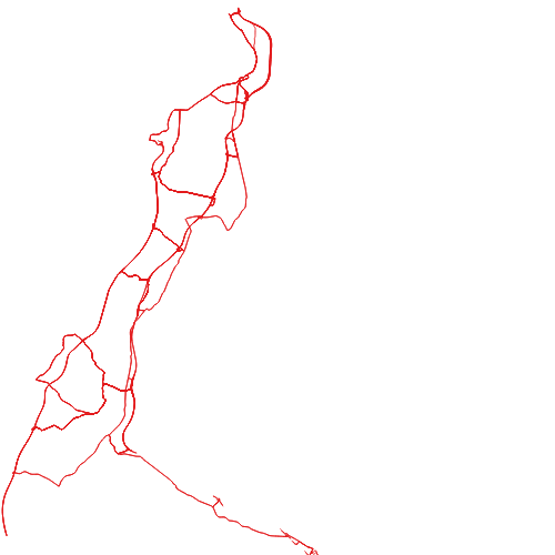
Intermodales Verkehrsreferenzsystem (GIP.at) Umleitungsstrecken Vorarlberg
Dies sind die Umleitungsstrecken, welche bei Sperren von Autobahnabfahrten bzw. Grenzübergängen von der ASFINAG verwendet werden. Gepflegt und gewartet werden diese Daten in der GIP und verlaufen Großteils auf dem höherrangigen Straßennetz.
Die Daten stammen aus einer Erhebung eines Innsbrucker Verkehrsbüros und wurden in die GIP importiert.
Wichtige Felder und Datentypen der Attributtabelle:
Datenquelle: umleitungsstrecken.shp
Simple
- Date (Creation)
- 2021-09-01
- Date (Revision)
- 2025-12-01T01:18:35
- Citation identifier
- AT.0025.31.00 / 99d7535e-2705-4b35-8f38-ceacd35c0c2b
- Presentation form
- Digital map
- Status
- Completed
- Point of contact
-
Organisation name Individual name Electronic mail address Role Vorarlberg, Landesamt für Vermessung und Geoinformation, Abteilung Geoinformation
Point of contact Vorarlberg, Landesamt für Vermessung und Geoinformation, Abteilung Geoinformation
Custodian Vorarlberg, Landesamt für Vermessung und Geoinformation, Abteilung Geoinformation
Publisher Vorarlberg, Landesamt für Vermessung und Geoinformation, Abteilung Geoinformation
Owner
-
VOGIS Thema 1.0.0
-
-
verkehr
-
-
VOGIS Unterthema 1.0.0
-
-
strasse
-
- Keywords
-
-
strassen
-
verkehrsnetze
-
umleitung
-
gesamtverkehrsnetz
-
-
GEMET
-
-
Verkehr
-
Verkehrslenkung
-
- Access constraints
- Copyright
- Denominator
- 5000
- Language
- Deutsch
- Topic category
-
- Transportation
))
- Reference system identifier
- EPSG / MGI / Austria GK West (EPSG:31254) / 7.9
- Distribution format
-
Name Version ESRI Shapefile
1.0
Digital transfer options
- OnLine resource
-
Protocol Linkage Name WWW:LINK-1.0-http--link
http://gip.gv.at/ Informationen zur GIP
OGC:WMS-http-get-capabilities
https://vogis.cnv.at/geoserver/vogis/umleitungsstrecken/wms?service=wms&request=Getcapabilities Geoserver-WMS
OGC:WFS-http-get-capabilities
https://vogis.cnv.at/geoserver/vogis/umleitungsstrecken/wfs?service=wfs&request=Getcapabilities Geoserver-WFS
WWW:DOWNLOAD-1.0-http--download
https://vogis.cnv.at/geoserver/vogis/umleitungsstrecken/ows?service=WFS&version=1.0.0&request=GetFeature&typeName=umleitungsstrecken&maxFeatures=100000&outputFormat=SHAPE-ZIP Shapefile-Download
WWW:DOWNLOAD-1.0-http--download
https://vogis.cnv.at/geoserver/vogis/umleitungsstrecken/ows?service=WFS&version=1.0.0&request=GetFeature&typeName=umleitungsstrecken&maxFeatures=100000&outputFormat=gpkg Geopackage-Download
- Hierarchy level
- Dataset
- Statement
-
Digitalisierung auf Basis Luftbild und Grenzen des digitalen Katasters
Metadata
- File identifier
- 99d7535e-2705-4b35-8f38-ceacd35c0c2b XML
- Metadata language
- Deutsch
- Hierarchy level
- Dataset
- Date stamp
- 2026-05-15T11:26:43.381Z
- Metadata standard name
-
ISO19115
- Metadata standard version
-
2003/Cor.1:2006
- Metadata author
-
Organisation name Individual name Electronic mail address Role Vorarlberg, Landesamt für Vermessung und Geoinformation, Abteilung Geoinformation
Point of contact
Overviews
Spatial extent
Provided by
