Rollstuhl-Wegenetz für Vorarlberg
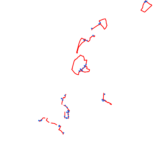
Digitales Rollstuhl-Wegenetz des Landes Vorarlberg. Besteht aus Linien und umfasst eine Kategorisierung in zwei Kategorien (Asphalt- und Schotterstrecken) und eine Beschreibung der Länge der einzelnen Abschnitte
Wichtige Felder und Datentypen der Attributtabelle:
WEG_ART (integer) Wegkategorie - (1,2)
WEG_KATEGO (string) Wegkategorie - Text
LENGTH (double) Länge der Strecke
Datenquelle: rollstuhl_strecken.shp
Simple
- Date (Creation)
- 2009-11-18
- Date (Revision)
- 2025-02-17T12:00:00
- Citation identifier
- AT.0025.07.00 / 886b9fa0-6be4-4307-9ed5-7b3a75780b5c
- Point of contact
-
Organisation name Individual name Electronic mail address Role Vorarlberg, Amt d. LReg., Abteilung VIIa - Raumplanung
Point of contact Vorarlberg, Amt d. LReg., Abteilung VIIa - Raumplanung
Custodian Vorarlberg, Landesamt für Vermessung und Geoinformation, Abteilung Geoinformation
Publisher Vorarlberg, Amt d. LReg., Abteilung VIIa - Raumplanung
Owner
-
VOGIS Thema 1.0.0
-
-
verkehr
-
-
VOGIS Unterthema 1.0.0
-
-
weg
-
- Keywords
-
-
verkehrsnetze
-
rollstuhlweg
-
behinderter
-
- Access constraints
- Copyright
- Denominator
- 1000
- Language
- Deutsch
- Topic category
-
- Transportation
))
- Reference system identifier
- EPSG / MGI / Austria GK West (EPSG:31254) / 7.9
- Distribution format
-
Name Version ESRI Shapefile
1.0
Digital transfer options
- OnLine resource
-
Protocol Linkage Name WWW:LINK-1.0-http--link
https://vorarlberg.at/documents/302033/472545/Wanderwege-Publikationen.pdf/43b1f214-2f42-ca55-4b5b-3ae07fa0208e Broschüre
OGC:WMS-http-get-capabilities
https://vogis.cnv.at/geoserver/vogis/rollstuhl_strecken/wms?service=wms&request=Getcapabilities Geoserver-WMS
OGC:WFS-http-get-capabilities
https://vogis.cnv.at/geoserver/vogis/rollstuhl_strecken/wfs?service=wfs&request=Getcapabilities Geoserver-WFS
WWW:DOWNLOAD-1.0-http--download
https://vogis.cnv.at/geoserver/vogis/rollstuhl_strecken/ows?service=WFS&version=1.0.0&request=GetFeature&typeName=rollstuhl_strecken&maxFeatures=100000&outputFormat=SHAPE-ZIP Shapefile-Download
WWW:DOWNLOAD-1.0-http--download
https://vogis.cnv.at/geoserver/vogis/rollstuhl_strecken/ows?service=WFS&version=1.0.0&request=GetFeature&typeName=rollstuhl_strecken&maxFeatures=100000&outputFormat=gpkg Geopackage-Download
- Hierarchy level
- Dataset
- Statement
-
Digitalisierung auf Basis der Grundstuecksgrenzen des digitalen Kataster und der Orthofotos
Metadata
- File identifier
- 886b9fa0-6be4-4307-9ed5-7b3a75780b5c XML
- Metadata language
- Deutsch
- Hierarchy level
- Dataset
- Date stamp
- 2025-12-17T10:14:05.378Z
- Metadata standard name
-
ISO19115
- Metadata standard version
-
2003/Cor.1:2006
- Metadata author
-
Organisation name Individual name Electronic mail address Role Vorarlberg, Landesamt für Vermessung und Geoinformation, Abteilung Geoinformation
Point of contact
Overviews
Spatial extent
Provided by
