Normalisiertes Höhenmodell (Differenzhöhenmodell DSM-DTM) Vorarlberg 2017, 50cm
Normalisiertes Höhenmodell (Differenzhöhenmodell DSM-DTM) der 3. Laserscanning-Aufnahme Vorarlberg 2017, 50cm Rasterweite, z.B. zur Abfrage der Baumhöhen
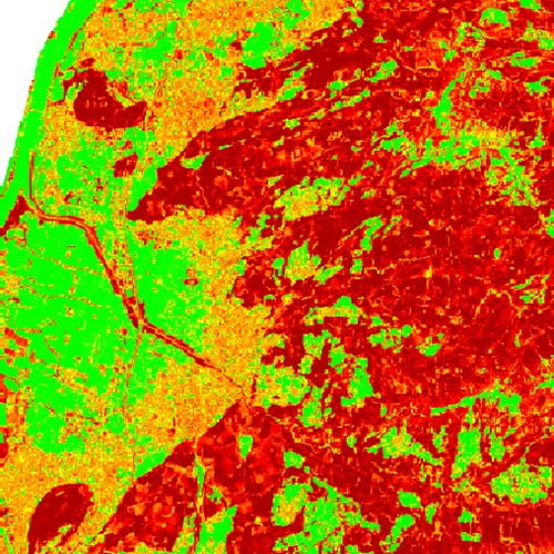
Baumhöhenkarte
1 Kanal 32 Bit Floating-Point COG-TIF-Rastermodell
Datenquelle:
nh2017_50cm.tif
Simple
- Date (Creation)
- 2019-09-10
- Date (Revision)
- 2023-02-10T12:00:00
- Code
- 729b2e4c-1b20-4d14-931c-0d6d9d9b736a
- Point of contact
-
Organisation name Individual name Electronic mail address Role Vorarlberg, Landesamt für Vermessung und Geoinformation, Abteilung Geoinformation
Point of contact Vorarlberg, Landesamt für Vermessung und Geoinformation, Abteilung Geoinformation
Custodian Vorarlberg, Landesamt für Vermessung und Geoinformation, Abteilung Geoinformation
Publisher Vorarlberg, Landesamt für Vermessung und Geoinformation, Abteilung Geoinformation
Owner
- Maintenance and update frequency
- Not planned
-
VOGIS Thema 1.0.0
-
-
gelaendemodelle
-
-
VOGIS Unterthema 1.0.0
-
-
ndom
-
-
GEMET - INSPIRE themes, version 1.0
-
-
Höhe
-
-
GEMET
-
-
Digitales Geländemodell
-
Höhe
-
- Keywords
-
-
laserscanning
-
vorarlberg
-
- Access constraints
- Copyright
- Use constraints
- otherRestictions
Resource constraints
- Spatial representation type
- Grid
- Distance
- 50 cm
- Language
-
ger
- Character set
- UTF8
- Topic category
-
- Planning cadastre
))
- Reference system identifier
- EPSG / MGI / Austria GK West (EPSG:31254) / 8.6
- Distribution format
-
Name Version GeoTIFF
1.0
- Statement
-
Eigene Erfassung
Metadata
- File identifier
- 729b2e4c-1b20-4d14-931c-0d6d9d9b736a XML
- Metadata language
- Deutsch
- Character set
- UTF8
- Hierarchy level
- Dataset
- Date stamp
- 2025-07-31T19:14:40.52Z
- Metadata standard name
-
ISO 19115:2003/19139
- Metadata standard version
-
1.0
- Metadata author
-
Organisation name Individual name Electronic mail address Role Vorarlberg, Landesamt für Vermessung und Geoinformation, Abteilung Geoinformation
Point of contact
Overviews
Spatial extent
Provided by
