WMS Flächenwidmungsplan Vorarlberg
WMS Dienst über Landesweite Darstellung der Flächenwidmungspläne
Simple
Identification info
- Date (Creation)
- 2013-11-27T12:00:00
- Date (Revision)
- 2025-10-01T12:00:00
- Code
- 5c145810-0fe6-4467-b62a-adfef14a8884
- Point of contact
-
Organisation name Individual name Electronic mail address Role Vorarlberg, Landesamt für Vermessung und Geoinformation, Abteilung Geoinformation
Publisher Vorarlberg, Landesamt für Vermessung und Geoinformation, Abteilung Geoinformation
Owner
-
GEMET - INSPIRE themes, version 1.0
-
-
Bodennutzung
-
-
GEMET
-
-
Flächennutzung
-
Flächennutzungsplan
-
- Keywords
-
-
wms
-
web map service
-
- Service Type
- OGC:WMS
- Service Version
-
1.3.0
- Fees
-
NONE
))
- Coupled Resource
-
Operation Name Scoped name Identifier GetCapabilities
undefined 40a4aa86-b116-4511-8af7-e2898a31864f
GetCapabilities
undefined 85bd045b-8857-4388-bc07-0fccd5a29eb1
GetCapabilities
undefined d4020769-b3ab-4a20-93cb-c9d0dd3de5a8
GetCapabilities
undefined cae2aa4b-b9f4-4771-a9ae-587a2c29ca15
GetCapabilities
undefined 5a9c9d51-0cd9-4f3f-a348-8eb00b36b0b4
GetCapabilities
undefined 71145138-05a9-4f53-a8d1-cdf986c62150
GetCapabilities
undefined aa326625-7d40-46ba-976e-e2bfe307948e
GetCapabilities
undefined 3c900a9c-0c9e-48be-ad44-2b18b1b00b27
- Coupling Type
- Tight
- Contains Operations
-
Operation Name Distributed Computing Platforms Connect Point GetCapabilities
Web services https://vogis.cnv.at/mapserver/mapserv?map=i_luftbilder_r_wms.map&version=1.3.0&service=wms&request=getcapabilities
- Operates On
-
- Seveso-II Schutzabstand in Vorarlberg
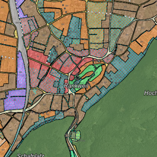
- Flächenwidmungsplan Vorarlberg - Flächen
- Flächenwidmungsplan Vorarlberg - Linien
- Umwidmungsprotokoll Vorarlberg
- Grundstücke GST Vorarlberg (Fremddaten)
- Grundstücknummern Vorarlberg (Fremddaten)
- Grundstücknummern gross Vorarlberg (Fremddaten)
- Verwaltungsgrenzen Vorarlbergs
Reference System Information
- Distribution format
-
Name Version WMS
1.3.0
Digital transfer options
- OnLine resource
-
Protocol Linkage Name OGC:WMS-http-get-capabilities
https://vogis.cnv.at/geoserver/vogis/fwp_grp/ows?service=WMS&version=1.3.0&request=GetCapabilities fwp
- Hierarchy level
- Service
Metadata
- File identifier
- 5c145810-0fe6-4467-b62a-adfef14a8884 XML
- Metadata language
- Deutsch
- Character set
- UTF8
- Hierarchy level
- Service
- Hierarchy level name
-
Dienst
- Date stamp
- 2026-04-04T10:54:50.683Z
- Metadata standard name
-
ISO 19115:2003/19139
- Metadata standard version
-
1.0
- Metadata author
-
Organisation name Individual name Electronic mail address Role Vorarlberg, Landesamt für Vermessung und Geoinformation, Abteilung Geoinformation
Custodian
Overviews
Provided by
