Schnittlinien Orthofotomosaik Sommerflug 2024 Vorarlberg
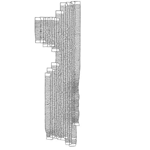
Polygondatensatz mit den Schnittlinien der im Orthofotomosaik ef2024_10cm.ecw verwendeten Luftbilder der Befliegung Vorarlberg 2024. Diese deckt nur einen kleinen Bereich Vorarlbergs im Westlichen Rheintal ab.
Wichtige Felder und Datentypen der Attributtabelle:
Flugdatum, Int, Integer, 10
Bildnummer, Str, String, 20
UTC_ZEIT, Str, String, 8
Datenquelle: ef2024_seamlines.shp
Simple
- Date (Creation)
- 2025-05-23
- Date (Revision)
- 2025-05-26T02:17:32
- Citation identifier
- AT.0025.31.00 / 31e675ee-5a67-4df8-86a7-29811b1fe8cf
- Presentation form
- Digital map
- Point of contact
-
Organisation name Individual name Electronic mail address Role Vorarlberg, Landesamt für Vermessung und Geoinformation, Abteilung Geoinformation
Point of contact Vorarlberg, Landesamt für Vermessung und Geoinformation, Abteilung Geoinformation
Custodian Vorarlberg, Landesamt für Vermessung und Geoinformation, Abteilung Geoinformation
Publisher Vorarlberg, Landesamt für Vermessung und Geoinformation, Abteilung Geoinformation
Owner
-
VOGIS Thema 1.0.0
-
-
luftbilder
-
-
VOGIS Unterthema 1.0.0
-
-
orthofotos
-
-
GEMET - INSPIRE themes, version 1.0
-
-
Orthofotografie
-
-
GEMET
-
-
Luftbild
-
Luftbildfotographie
-
- Access constraints
- Copyright
- Denominator
- 5000
- Language
- Deutsch
- Topic category
-
- Planning cadastre
))
- Reference system identifier
- EPSG / MGI / Austria GK West (EPSG:31254) / 7.9
- Distribution format
-
Name Version ESRI Shapefile
1.0
Digital transfer options
- OnLine resource
-
Protocol Linkage Name OGC:WMS-http-get-capabilities
https://vogis.cnv.at/geoserver/vogis/ef2024_seamlines/wms?service=wms&request=Getcapabilities Geoserver-WMS
OGC:WFS-http-get-capabilities
https://vogis.cnv.at/geoserver/vogis/ef2024_seamlines/wfs?service=wfs&request=Getcapabilities Geoserver-WFS
WWW:DOWNLOAD-1.0-http--download
https://vogis.cnv.at/geoserver/vogis/ef2024_seamlines/ows?service=WFS&version=1.0.0&request=GetFeature&typeName=ef2024_seamlines&maxFeatures=100000&outputFormat=SHAPE-ZIP Shapefile-Download
WWW:DOWNLOAD-1.0-http--download
https://vogis.cnv.at/geoserver/vogis/ef2024_seamlines/ows?service=WFS&version=1.0.0&request=GetFeature&typeName=ef2024_seamlines&maxFeatures=100000&outputFormat=gpkg Geopackage-Download
Metadata
- File identifier
- 31e675ee-5a67-4df8-86a7-29811b1fe8cf XML
- Metadata language
- Deutsch
- Hierarchy level
- Dataset
- Date stamp
- 2025-07-31T09:14:27.563Z
- Metadata standard name
-
ISO19115
- Metadata standard version
-
2003/Cor.1:2006
- Metadata author
-
Organisation name Individual name Electronic mail address Role Vorarlberg, Landesamt für Vermessung und Geoinformation, Abteilung Geoinformation
Point of contact
Overviews
Spatial extent
Provided by
