Topographische Karte 1:50.000 (ÖK 50) (Fremddaten)
Topographische Karte 1:50.000 (ÖK 50), Kartenmaßstab 1:50.000
1 Kanal RGB-Raster-Tif Palette)
Datenquelle:
oek50.tif
Simple
- Date (Creation)
- 2015-07-27
- Date (Revision)
- 2019-07-08T12:00:00
- Code
- 23586aca-47f3-4185-987c-421e5229ae5e
- Point of contact
-
Organisation name Individual name Electronic mail address Role Bundesamt für Eich- und Vermessungswesen
Owner Vorarlberg, Landesamt für Vermessung und Geoinformation, Abteilung Geoinformation
Point of contact Vorarlberg, Landesamt für Vermessung und Geoinformation, Abteilung Geoinformation
Publisher Vorarlberg, Landesamt für Vermessung und Geoinformation, Abteilung Geoinformation
Custodian
- Maintenance and update frequency
- Not planned
-
VOGIS Thema 1.0.0
-
-
topographische_karten
-
-
VOGIS Unterthema 1.0.0
-
-
oek
-
-
GEMET
-
-
karte
-
- Keywords
-
-
topographie
-
- Access constraints
- Copyright
- Use constraints
- otherRestictions
- Spatial representation type
- Grid
Spatial resolution
- Distance
- 2.5 m
- Language
-
ger
- Character set
- UTF8
- Topic category
-
- Planning cadastre
N
S
E
W
))
- Reference system identifier
- EPSG / MGI / Austria GK West (EPSG:31254) / 8.6
- Distribution format
-
Name Version ECW
- OnLine resource
-
Protocol Linkage Name OGC:WMS-http-get-capabilities
https://vogis.cnv.at/mapserver/mapserv?map=i_oek50_r_wms.map&service=wms&request=Getcapabilities&VERSION=1.3.0 oek50
- Hierarchy level
- Dataset
- Statement
-
Eigene Erfassung / BEV
Metadata
- File identifier
- 23586aca-47f3-4185-987c-421e5229ae5e XML
- Metadata language
- Deutsch
- Character set
- UTF8
- Hierarchy level
- Dataset
- Date stamp
- 2025-04-14T13:26:13.129Z
- Metadata standard name
-
ISO 19115:2003/19139
- Metadata standard version
-
1.0
- Metadata author
-
Organisation name Individual name Electronic mail address Role Vorarlberg, Landesamt für Vermessung und Geoinformation, Abteilung Geoinformation
Point of contact
Overviews
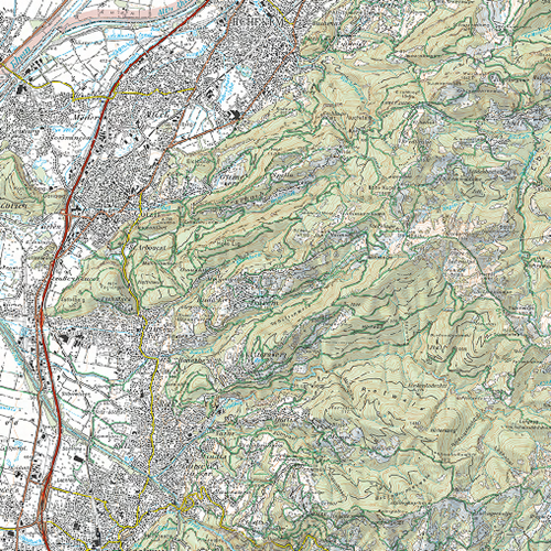
Oek 50
Spatial extent
N
S
E
W
Provided by

Associated resources
Not available