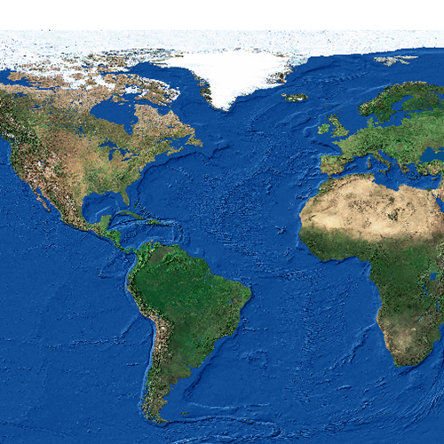
Physikalische Darstellung der gesamten Erdoberfläche
Physikalische Darstellung der gesamten Erdoberfläche
3 Kanal unsigned Integer Tif
0,03593 arc degrees
Datenquelle:
fb_2min.tif
Simple
- Date (Creation)
- 2009-11-27
- Date (Revision)
- 2019-07-08T12:00:00
- Code
- a6fd364c-844c-416a-aea3-48d00d204661
- Point of contact
-
Organisation name Individual name Electronic mail address Role Vorarlberg, Landesamt für Vermessung und Geoinformation, Abteilung Geoinformation
Point of contact Vorarlberg, Landesamt für Vermessung und Geoinformation, Abteilung Geoinformation
Custodian Vorarlberg, Landesamt für Vermessung und Geoinformation, Abteilung Geoinformation
Publisher Vorarlberg, Landesamt für Vermessung und Geoinformation, Abteilung Geoinformation
Owner
- Maintenance and update frequency
- Not planned
-
VOGIS Thema 1.0.0
-
-
luftbilder
-
-
VOGIS Unterthema 1.0.0
-
-
satellitenbilder
-
-
GEMET
-
-
welt
-
satellitenbild
-
- Keywords
-
-
erdoberfläche
-
-
GEMET - INSPIRE themes, version 1.0
-
-
orthofotografie
-
- Access constraints
- Copyright
- Use constraints
- otherRestictions
Aggregation Information
No information provided.
- Spatial representation type
- Grid
- Language
-
ger
- Character set
- UTF8
- Topic category
-
- Imagery base maps earth cover
N
S
E
W
))
- Reference system identifier
- EPSG / EPSG:EPSG:Geographic (Latitude/Longitude, EPSG:4326)
- Distribution format
-
Name Version TIFF
- Hierarchy level
- Dataset
- Statement
-
Eigene Erstellung
Metadata
- File identifier
- a6fd364c-844c-416a-aea3-48d00d204661 XML
- Metadata language
- Deutsch
- Character set
- UTF8
- Hierarchy level
- Dataset
- Date stamp
- 2025-04-14T13:27:11.652Z
- Metadata standard name
-
ISO 19115:2003/19139
- Metadata standard version
-
1.0
- Metadata author
-
Organisation name Individual name Electronic mail address Role Vorarlberg, Landesamt für Vermessung und Geoinformation, Abteilung Geoinformation
Point of contact
Overviews
Spatial extent
N
S
E
W
Provided by

Associated resources
Not available