Linien für die Topographische Karte Vorarlbergs
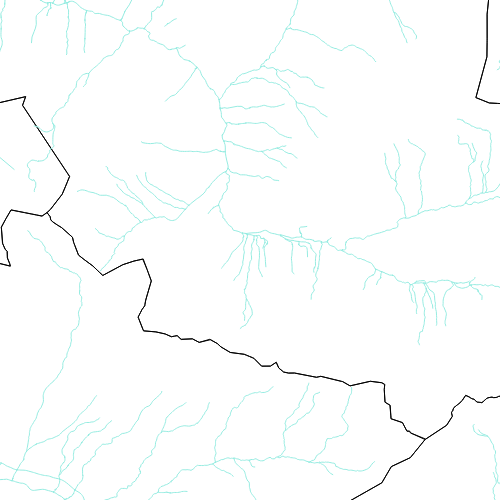
Dieser Layer besteht aus Landes- und Staatsgrenzen die Vorarlberg abgrenzen, aus den in Vorarlberg vorhandenen Straßen- und Eisenbahnlinien und aus den wichtigsten Flüssen.
Wichtige Felder und Datentypen der Attributtabelle:
LINIE (double) Grenzlinien
BAHN (double) Bahnlinien
FLUSS (double) Flüsse
STRASSE (double) Straßenlinien
Datenquelle: topo_linien.shp
Simple
- Date (Creation)
- 2009-11-18
- Date (Revision)
- 2019-07-08T12:00:00
- Citation identifier
- AT.0025.07.00 / 05538bc8-1e06-4834-9857-67f93ba7b55d
- Point of contact
-
Organisation name Individual name Electronic mail address Role Vorarlberg, Amt d. LReg., Abteilung VIIa - Raumplanung
Point of contact Vorarlberg, Amt d. LReg., Abteilung VIIa - Raumplanung
Custodian Vorarlberg, Landesamt für Vermessung und Geoinformation, Abteilung Geoinformation
Publisher Vorarlberg, Amt d. LReg., Abteilung VIIa - Raumplanung
Owner
-
VOGIS Thema 1.0.0
-
-
topographische_karten
-
-
VOGIS Unterthema 1.0.0
-
-
topokarte_vogis
-
- Keywords
-
-
karte
-
raumplanung
-
geografische bezeichnungen
-
- Access constraints
- Copyright
- Denominator
- 1000
- Language
- Deutsch
- Topic category
-
- Planning cadastre
))
- Reference system identifier
- EPSG / MGI / Austria GK West (EPSG:31254) / 7.9
- Distribution format
-
Name Version ESRI Shapefile
1.0
- OnLine resource
-
Protocol Linkage Name OGC:WMS-http-get-capabilities
https://vogis.cnv.at/geoserver/vogis/topo_linien/wms?service=wms&request=Getcapabilities Geoserver-WMS
Metadata
- File identifier
- 05538bc8-1e06-4834-9857-67f93ba7b55d XML
- Metadata language
- Deutsch
- Hierarchy level
- Dataset
- Date stamp
- 2025-04-14T13:29:05.825Z
- Metadata standard name
-
ISO19115
- Metadata standard version
-
2003/Cor.1:2006
- Metadata author
-
Organisation name Individual name Electronic mail address Role Vorarlberg, Landesamt für Vermessung und Geoinformation, Abteilung Geoinformation
Custodian
Overviews
Spatial extent
Provided by
