 VoGIS Metadatenkatalog
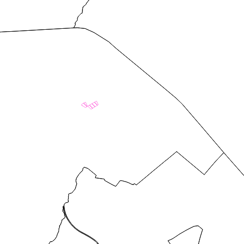
Seveso-II Betriebe in Vorarlberg
Übersicht über bestehende Seveso-II Betriebe (nach Richtlinie 96/82/EG) in Vorarlberg.
Wichtige Felder und Datentypen der Attributtabelle:
BETRIEB (string) Name des Seveso-II Betriebs
Datenquelle: seveso_ii_betriebe.shp
Simple
- Date (Creation)
- 2010-07-21
- Date (Revision)
- 2019-07-08T12:00:00
- Identifier
- AT.0025.31.00 / e8b4e190-b3ab-4bd7-b908-7a73b88bc461
- Presentation form
- Digital map
+43 (0) 5574 / 511-927195
https://vorarlberg.at/-/raumplanung-und-baurecht
+43 (0) 5574 / 511-927195
https://vorarlberg.at/-/raumplanung-und-baurecht
+43 (0) 5522 / 754826
https://vorarlberg.at/-/landesamt-fuer-vermessung-und-geoinformation-l-1?article_id=122572
+43 (0) 5574 / 511-927195
https://vorarlberg.at/-/raumplanung-und-baurecht
-
VOGIS-Thema
-
-
Raumplanung
-
-
VOGIS-Unterthema
-
-
Beschraenkungszone
-
- Keywords
-
-
Gefahr durch Schadstoffe
-
Richtlinie
-
Produktions- und Industrieanlagen
-
- Access constraints
- Other restrictions
- Other constraints
-
no limitations
- Denominator
- 5000
- Metadata language
- Deutsch
- Topic category
-
- Planning cadastre
))
- Reference system identifier
- EPSG / MGI / Austria GK West (EPSG:31254) / 7.9
- Distribution format
-
-
ESRI Shapefile
(
1.0
)
-
ESRI Shapefile
(
1.0
)
- OnLine resource
- Geoserver-WMS ( OGC:WMS-http-get-capabilities )
- OnLine resource
- Geoserver-WFS ( OGC:WFS-http-get-capabilities )
- OnLine resource
-
Shapefile-Download
(
WWW:DOWNLOAD-1.0-http--download
)
Achtung !! max. Features = 50.000
- OnLine resource
-
Geopackage-Download
(
WWW:DOWNLOAD-1.0-http--download
)
Achtung !! max. Features = 50.000
- Hierarchy level
- Dataset
- Statement
-
Digitalisierung auf Basis Luftbild und Grenzen des digitalen Katasters
- File identifier
- e8b4e190-b3ab-4bd7-b908-7a73b88bc461 XML
- Metadata language
- Deutsch
- Hierarchy level
- Dataset
- Date stamp
- 2020-06-22T09:26:52
- Metadata standard name
-
ISO19115
- Metadata standard version
-
2003/Cor.1:2006
Overviews
Spatial extent
Provided by
